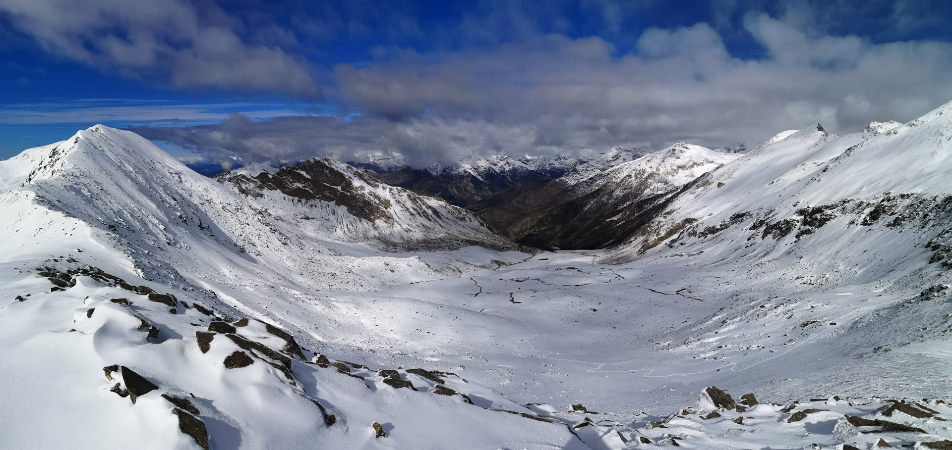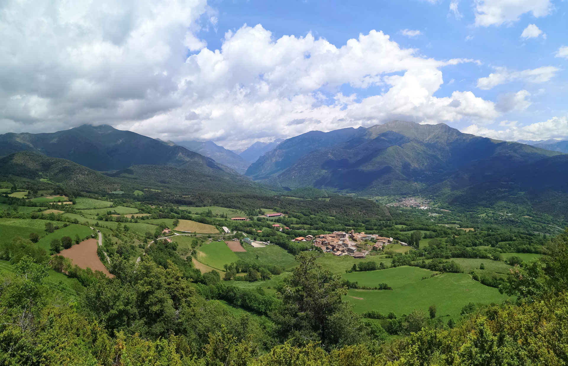
Pyrenees in 2020
The main climatic characteristics of the year 2020 in the Pyrenees are mentioned below. In addition, cartographic information and a summary of the main extreme episodes is provided.
Temperature

2020 was the warmest year since 1959
The annual mean temperature anomaly respect to the 1981-2010 mean value was 1.2 ºC; the year 2020 was the warmest in the Pyrenees since, at least, 1959 (the year in which climate monitoring by the OPCC began).
Talking about seasonal temperautres, the 2019-2020 winter broke records due to its warm nature, registering an anomaly of +2.7 ºC (very similar to the previous maximum in 1990-1991 winter). Likewise, the 2020 spring was the warmest since 1959, with an anomaly of 2.0 ºC. Summer and autumn recorded positive but more modest anomalies, close to +0.6 ºC.
Precipitation

2020 was a slightly rainy/snowy year
In the Pyrenees, precipitation during 2020 was slightly higher than the mean value for the period 1981-2010: around +10%.
Spring clearly was the rainiest/snowiest season, with an anomaly of +25% in relation to the 1981-2010 mean value. The rest of the seasons of the year had a behavior very close to the climatic mean values.
Spatially, the eastern sector recorded notable rainfall surpluses (>+50%), while the central and highest area showed the opposite behavior, with marked deficits (< -50%).
Extreme temperatures

Minimum in the number of frost days
In 2020, warm temperature extremes clearly continued above the climatic mean. Among them, the historic minimum in the number of frost days (annual account of days with TN < 0 ºC) stands out in the Pyrenees: 20 days less than the 1981-2010 mean value. Also notable was the annual number of summer days (days with TX > 25 ºC), which exceeded the mean value by 11 days. Concerning the intensity of warm temperature extremes, 2020 was especially rigorous. For example, the absolute maximum temperature was 4 ºC higher than the 1981-2010 mean value. On the contrary, the cold spell duration was considerably shortened compared to the mean value: 10 days less.
Precipitation extremes

Without great results
No notable precipitation extremes were observed in the Pyrenees during 2020.
It was a relatively rainy year. The duration of the dry periods (annual account of consecutive days with PPT < 1 mm) was close to the mean value and there were no wet period (annual account of consecutive days with PPT ≥ 1 mm) clearly above the mean value.
The most important episode of precipitation accumulation was during the storm named Gloria, at the end of January, with accumulations in four days that exceeded 300 mm in the eastern Pyrenees.
Glaciers

2020 records the minimum glacier surface area
In 2020, the decrease in the total area covered by glaciers in the Pyrenees has continued. Specifically, the minimum has been reached in the six monitored systems since 1990.
In the case of Aneto glacier, in just over thirty years, the ice surface has been reduced by half (from 100 ha to 47 ha), and a similar decrease can be seen in the Ossoue (Vignemale) and Maladeta glaciers. On the Tempestades glacier, the minimum of 5.6 ha was reached in 2020.
High mountain caves

Ice volume reaches the minimum value
The A294 ice cave of Cotiella (2.238 m), with ice volume data since 1978, has set an unprecedented minimum in 2019, with 5.440 m³ of ice. The maximum value was 6.770 m³.in 1978.
The temperature inside the monitored cave has reached an annual mean value of -0.4 ºC in 2020. This record is not the maximum value in the series that begins in 2010, but it is among the four warmest.
High mountain lakes

The surface temperature reaches 18 ºC in summer
Since 2017, water temperature data have been available at different depths in three high mountain lakes, located at an altitude ranging between 1.800 m and 2.600 m: Montmalús (Andorra), and Acherito and Marboré (Aragón).
The vertical temperature profile provides information on the change in temperature with depth. Thus, in summer, the surface temperature can reach 18 °C, but drops quickly to 9 °C or 10 °C at depths greater than 14 m. In winter, when water is frozen, the maximum ice thickness can reach 6 m on the highest altitude lakes (Marboré, 2.590 m).
Forests

Sprouting begins in mid-May
In 2013, systematic monitoring of the forest mass phenology in the Pyrenees began. Specifically, there are four species (sessile oak, black pine, common beech and common fir) spread across 15 areas and from which the phenophase of the sprouting date is monitored.
With data up to 2019, the sessile oak and beech sprouted in the 19th week of the year. The common fir did it in week 23, and the black pine was the latest species, which did it in week 27.
Annual mean temperature anomaly (ºC)
(reference period: 1981-2010)
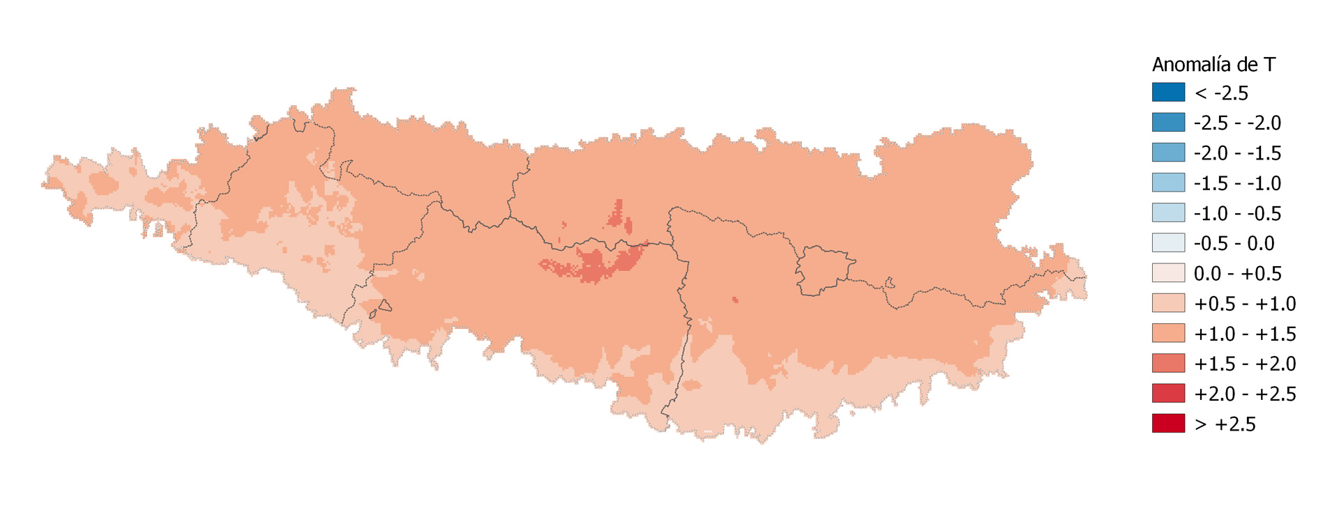
The annual mean temperature in the Pyrenees in 2020 was clearly above the climatic mean (1981-2010), with anomalies that were around +1.0 ºC in practically the whole domain. In the higher parts of the central Pyrenees the anomaly was greater, about +1.5 ºC. In fact, the annual mean temperature in the Pyrenees area was 11.4 ºC, that is, an anomaly of +1.2 ºC.
Annual accumulated precipitation anomaly (%)
(reference period: 1981-2010)
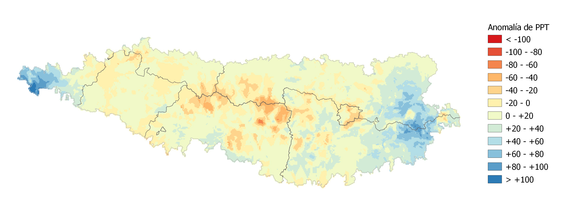
The annual accumulated precipitation in the Pyrenees in 2020 was, for the whole domain, slightly above the 1981-2010 mean value, about +10%. However, great spatial irregularity was observed. The maximum values were located in the eastern Pyrenees, with anomalies greater than +50%, especially due to the Gloria storm. On the contrary, the central Pyrenees recorded notable precipitation deficit, in some cases below -40%.
Main extreme events
The map indicates the main extreme weather events that affected the Pyrenean region in 2020, from the point of view of heavy rainfall, snow, extreme temperatures and strong wind.
Bulletin of Climate Change Indicators of the Pyrenees 2020
The Bulletin of Climate Change Indicators of the Pyrenees (BICCPIR) 2020 aims to deepen the knowledge of the anthropic climate change effects in the Pyrenees. Thus, information on the climate evolution is provided through a set of indicators grouped by systems.